Want to see how Geo AI for location planning works? Book you personal demo!

Business Expansion &
Site Selection

  • Quantify target group density within seconds
  • Save time when investigating new sites 
  • Reduce risks in investment decisions 

Location planning with ease and confidence

Whether you are planning to open a new retail store or restaurant, expanding a business into new territories is always time-consuming and involves risks. With an intuitive platform and extensive international geodata, Targomo helps businesses of all sizes to analyze new locations and speed up decision-making.

Our platform TargomoLOOP provides you with interactive maps, comprehensive data, as well as cutting-edge analytics to take your location strategy to the next level.
Easy to use
Easy to use
You don’t need expert knowledge or a long setup to work effectively and efficiently with our web-based platform.
Results within seconds
Speed up your decision-making by quickly identifying the best locations and outpace the competition.
Insightful analytics
Combine data with mobility analytics to calculate catchment areas, target group density, and cannibalization.

Single out locations with the highest potential, anywhere

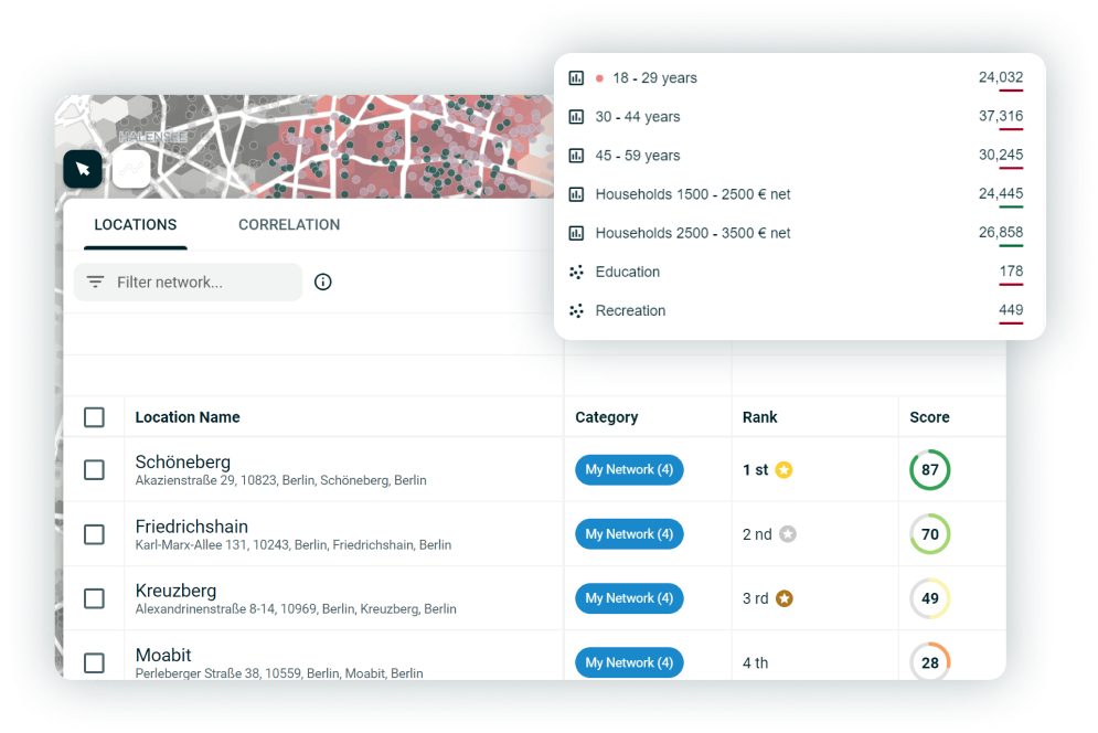
Compare locations based on data

  • Quickly sort high-potential real estate offers
  • Score & rank locations based on your own criteria
  • Travel time, socio-demographics and Points of Interest (POIs) in a single analysis
  • Many data sets available and data upload possible

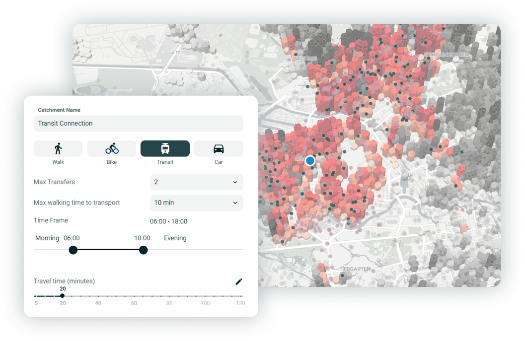
Analyze catchments for different expansion strategies

  • Create a catchments spanning over multiple modes of transportation
  • Available transport modes: bike, e-bike, car, walk, public transportation
  • Combine catchments with statistical data & POIs
  • Quantify your coverage for various network strategies

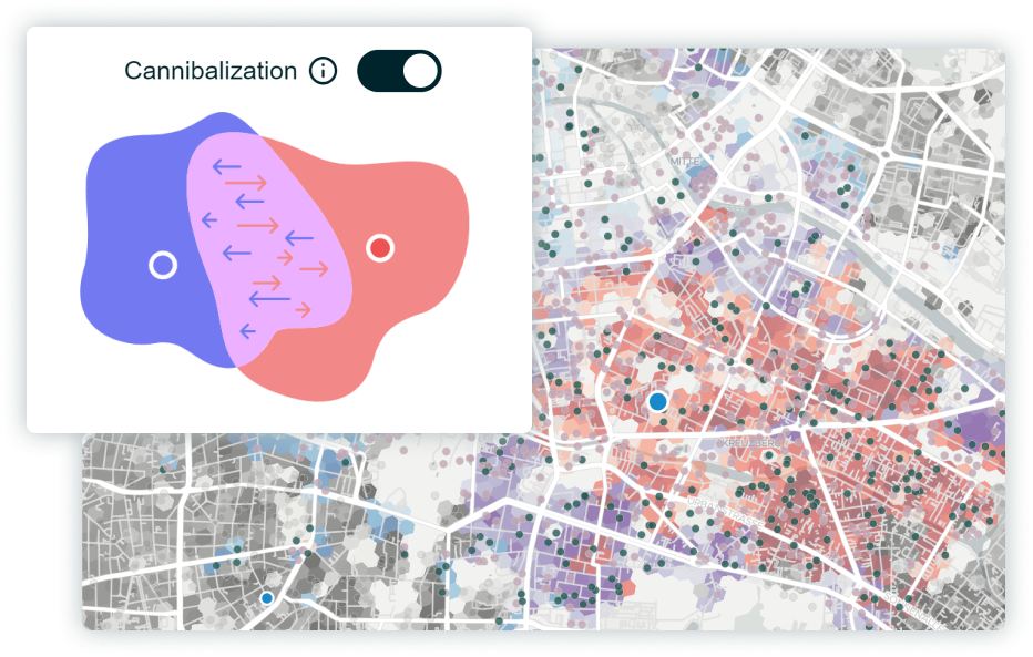
Measure effects of cannibalization & competition

  • See overlapping catchment areas
  • Automatically factor in cannibalization effects when scoring & ranking locations
  • Add competitor locations to the map to understand market coverage
  • Identify underserved areas and white spots
"We use TargomoLOOP for both the optimization of our network as well as expansion. We can use reliable data sets and discover new areas to set up partnerships."
Fabian Zimmermann, Business Development @Dr Smile

Let TargomoLOOP simplify your business expansion

Readily available data
From purchasing power to foot traffic and POIs: For many countries, we have all the data you'll need.
Data upload & export
Easily import and work with your own data. Export all of your analysis results for further processing.
PDF reports
PDF reports
Download elegant and concise PDF reports that ease internal & external communications.
Easy collaboration
Easy collaboration
Our Multi-user-access allows you to to work on your expansion planning as a team, no matter which size.
Cloud-based
Cloud-based
Working from home, the office, or the train? No worries, all calculations are happening in the cloud, live.
Always interactive
Always interactive
Say goodbye to static maps and immediately see how a change affects your whole network.