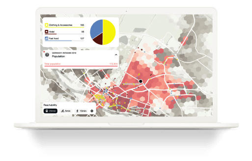


Locations and territories play a crucial role in the success of your business. Geomarketing links location and business data with information about regional markets, analyzes it and derives correlations. This way, geomarketing enables you to make the right decisions quickly.
Whether you need to select the optimal site, adjust your product range, or tailor your marketing activities to your target audiences, Targomo provides you with the right tool to leverage the full potential of geomarketing.


A large part of your business data has a spatial component, also known as georeferenced data. Geomarketing links this georeferenced business data to information about locations and regional markets, analyzes it and derives correlations.
Typically, a GIS platform or GIS software performs the geo-analyses (GIS = geographic information system). GIS systems visualize data and analytics results on maps and present them in a way that is easy to understand.
Location intelligence platforms are a further evolution of GIS systems. With the help of machine learning and artificial intelligence, they enable on-the-spot analyses and complement classic analyses of historical data with future-oriented forecasts and optimization potential.
The key to modern geomarketing systems is the ease of use. Bygone are the days when you had to depend on an in-house GIS expert or external consultant to make geospatial analyses. Modern geomarketing tools have a low entry threshold and are easy and quick to learn without prior knowledge.
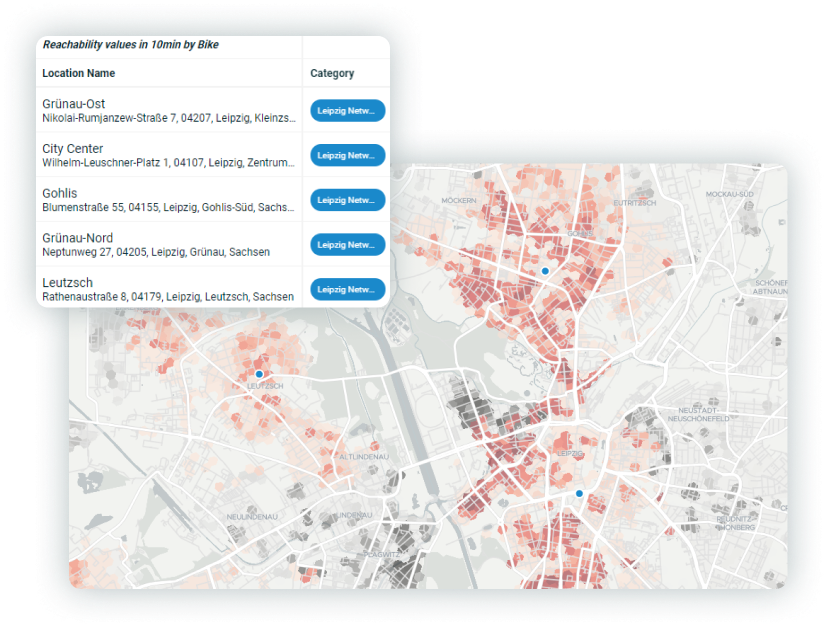
Another quality feature is analytical functionality. Good geomarketing software offers more than data visualization on maps. Can you calculate accessibility and catchment areas individually for your target groups? Can you analyze the influence of competitors and identify cannibalization? High-quality geomarketing systems can answer these and other questions for you.
GIS (Geographic Information Systems) is a technology used to capture, store, manipulate, analyze, manage, and present all types of geographical data. It uses a combination of hardware and software to analyze and display information on maps and in other visual forms.
Geomarketing, on the other hand, is a marketing strategy that uses geographic data and analysis to identify and target specific market segments, plan marketing campaigns, and measure their effectiveness. It is a subset of GIS that is focused on using geographic data and analysis to inform marketing decisions.
Geomarketing is an essential strategy for location planning because it uses geographic data and analysis to inform decisions about where to open new stores, expand business operations, or target marketing campaigns. The process involves analyzing a variety of geographic data, such as population demographics, consumer spending patterns, and competitive landscape, to identify the best locations for a business to operate.
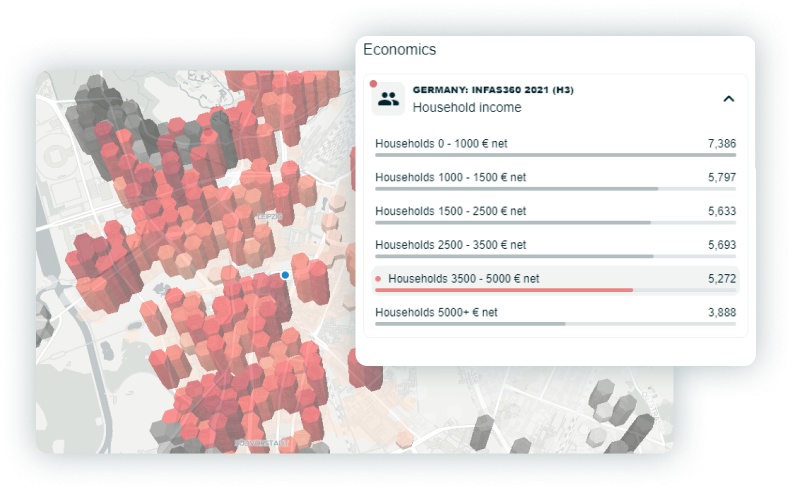
One of the key advantages of geomarketing is its ability to identify under-served or untapped markets. By analyzing demographic data, businesses can identify areas with a high concentration of potential customers that are not currently being served by competitors. This information can be used to inform decisions about where to open new stores or expand operations.
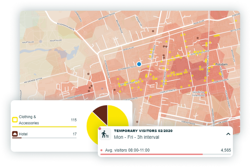
Geomarketing can also be used to identify the most effective locations for targeted marketing campaigns. By analyzing consumer spending patterns and other data, businesses can identify areas where their products or services are most likely to be in demand. This information can be used to inform decisions about where to focus marketing efforts and allocate advertising budgets.
In addition, geomarketing can be used to measure the effectiveness of location decisions. By analyzing data on sales and customer behavior, businesses can determine which locations are performing well and which are not. This information can be used to inform decisions about which stores to keep open and which to close.
In summary, GIS is a technology used to analyze and display geographical data, while geomarketing is a strategy that uses that data to inform marketing decisions. Geomarketing refers to the planning, coordination and control of customer-oriented market activities using geographic information systems. GIS thus refers to the technology or the tool behind it, while geomarketing means the discipline to which the technology is applied.
In English, the term geomarketing is less popular and gives way to the term Business GIS.
Today, the term “classic geomarketing” often gives way to “location intelligence. So where is the difference? Geomarketing and location intelligence have many things in common and are often even used synonymously today. For example, location intelligence technologies can usually answer the questions that were reserved for geomarketing.
However, location intelligence adds crucial components to the discipline of geomarketing. In particular, artificial intelligence and machine learning alghoritms contribute to further development. Thus, in today’s understanding, location intelligence contributes to business intelligence (BI), while geomarketing focuses on optimizing the marketing mix and sales issues.